AngelNav teams up with Imray on nautical charts
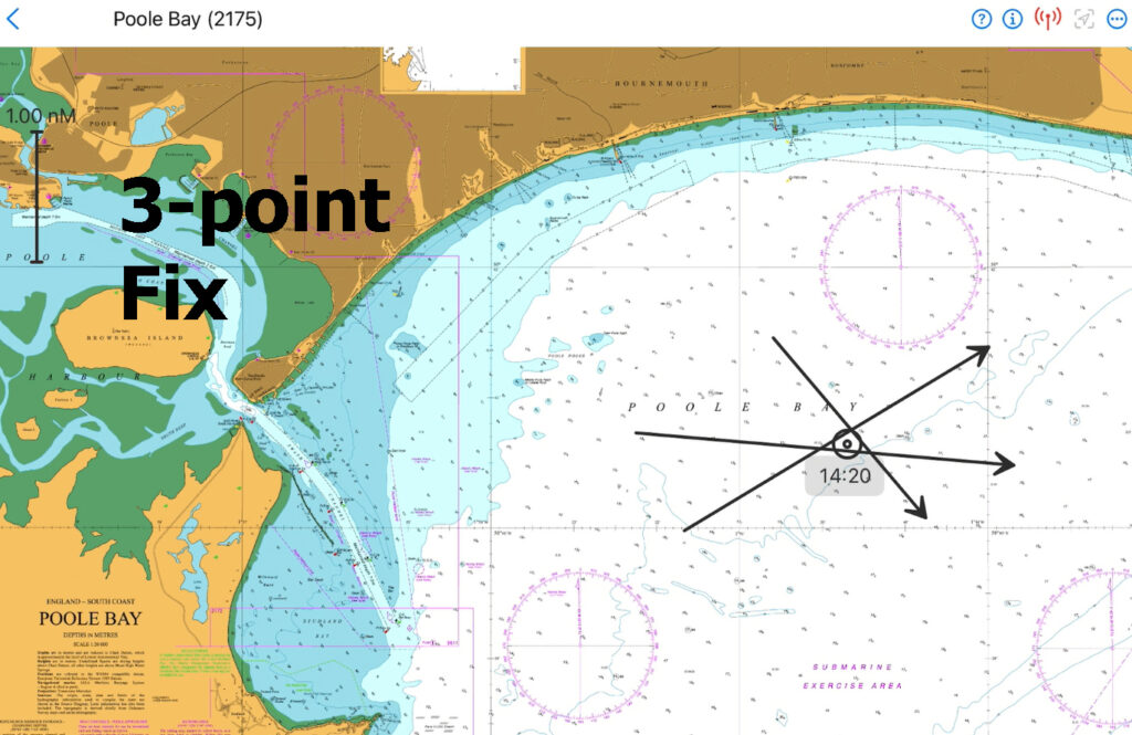
The team behind the interactive marine navigation software app AngelNav is joining forces with nautical chart publishers Imray.
The partnership widens the global footprint for its users with the inclusion of Imray’s raster charts, with the Eastern Caribbean being the first location onstream.
Co-created by sailing author and Fellow of the Royal Institute of Navigation, Tom Cunliffe, with his colleague Bill Aylward, an ocean sailor and software developer, AngelNav is billed as the only programme for leisure navigators that allows traditional plotting on an electronic chart, thus freeing the navigator from total reliance on a GPS position. This leaves skippers genuinely in charge of their own destiny, using charts that are always updated.
The platform was launched at the Southampton International Boat Show in September 2023.
“AngelNav’s unique strength is that, as well as the usual waypoints and routes, a user can work up three-point fixes from compass bearings electronically, independently of GPS, exactly as if it were a pencil on a paper chart,” says Cunliffe. “Vector diagrams for a course to steer or estimated position are also easily plotted.”
Until recently, AngelNav has been limited to using raster charts – digital or paper images of traditional nautical charts created by cartographers – from the UKHO, SHOM (France), NOAA (USA) and other official bodies. Now, AngelNav has joined forces with Imray so that its features can be enjoyed by users of Imray raster charts. These include areas so far denied to AngelNav.
According to a recent survey from the RYA, 74 per cent of leisure navigators are using digital techniques with reliance on paper for an overview and to back them up. The electronic equivalent of paper is the raster chart, and by synthesising these, with the software developed by Tom Cunliffe and Bill Aylward for AngelNav, it is now possible to enjoy the best of both worlds on an iPad, with an Android tablet version available in 2024.
“The Eastern Caribbean is the first Imray area onstream, which is great news for 2024 ARC participants, with more areas coming online very soon,” says Cunliffe.
AngelNav plans to be usable on Android devices, PCs and Macbooks for the 2024 season, making it universally available to all leisure navigators.
AngelNav is a free app from the Apple App Store for iPhones and iPads running iOS 15.0 and above. UKHO-derived and SHOM charts are divided into affordable folios. Imray charts follow the established in-house folios and can now be bought through AngelNav.


