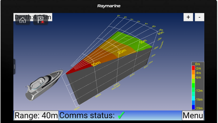
Daniamant launches forward-looking sonar advancement
Daniamant, a marine safety and navigation technology company, is launching its latest forward-looking sonar (FLS) development: the FLS 3D...
Read about the latest tech being used to aid boaters’ navigation. There are a wide variety of apps on the market which all offer slightly different experiences for the user. Many include locations of marina facilities, bouys and other markers. These navigation apps are designed especially for boaters and yacht owners.
Plus, learn about how to navigate around (avoid) orca.

Daniamant, a marine safety and navigation technology company, is launching its latest forward-looking sonar (FLS) development: the FLS 3D...
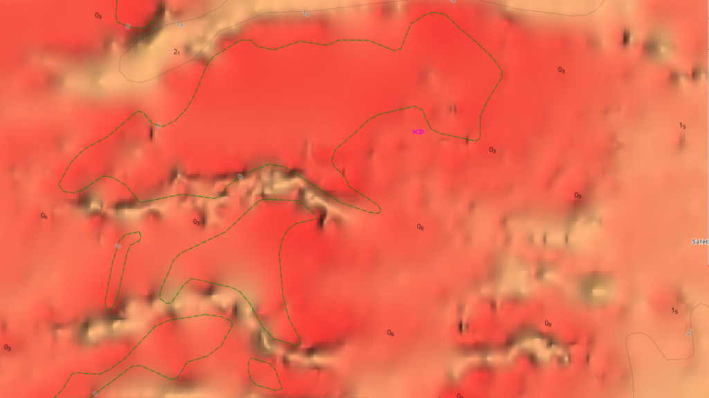
C-Map, a provider of digital marine cartography and cloud-based mapping, has released its first major update to North American...
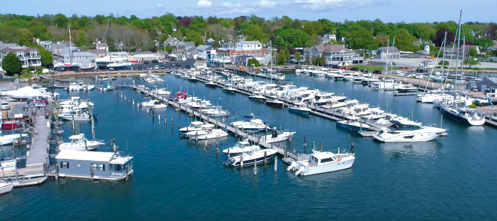
Maptech – a company traditionally known for marine navigation chartbooks, digital navigation charts and other navigation tools – has...

Avikus, the South Korean technology firm and a subsidiary of Hyundai, has reengineered its Neuboat Dock smart navigation and...
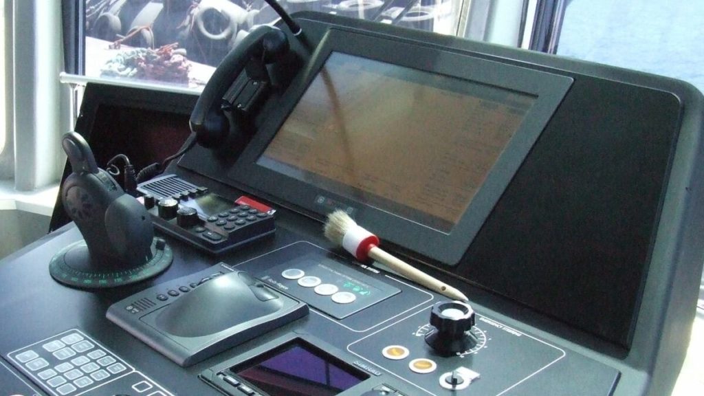
The Maritime and Coastguard Agency (MCA) has released updated guidance to support the safe use of digital navigation systems...
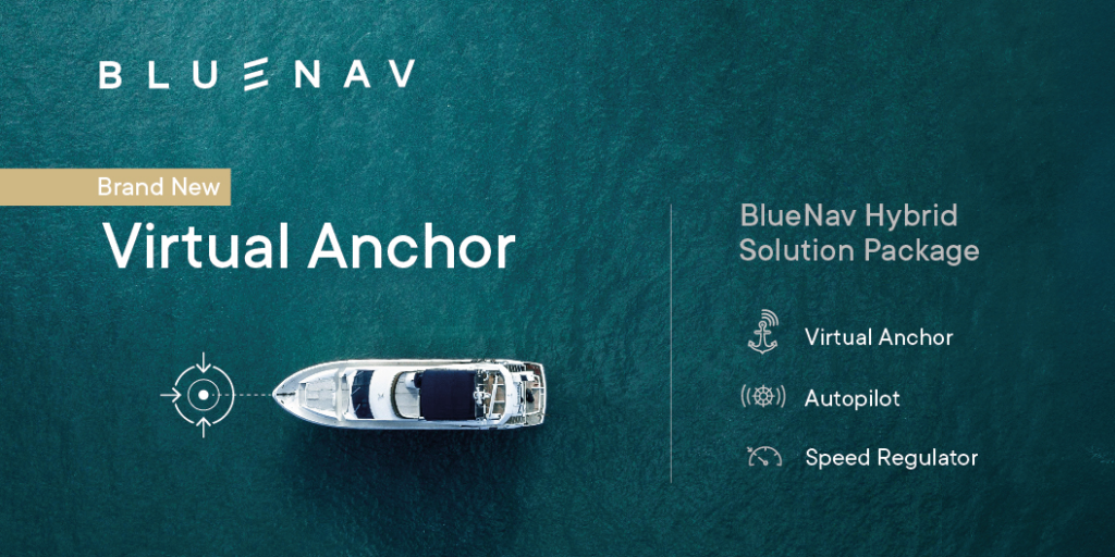
Marine hybrid technology firm BlueNav has announced the release of its latest navigation system, which includes a ‘virtual anchor’...
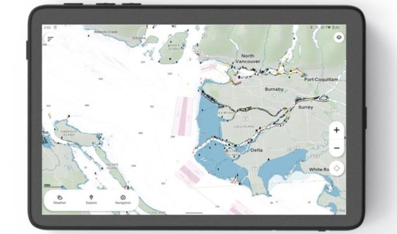
Norwegian marine tech startup Orca, which develops marine co-pilot and navigation systems, has expanded its chart coverage in the...

South Korean technology firm Avikus and US boatbuilder AquaSport Boats have announced a new collaboration to integrate Avikus’ AI...
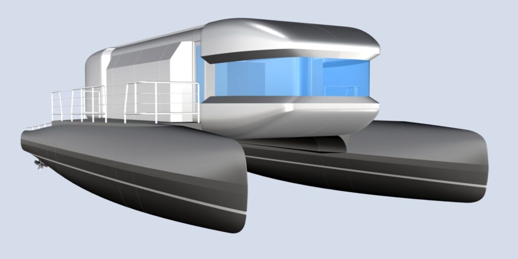
Electric propulsion specialist Torqeedo is participating in a Smart & Green Ship joint research project at the University of...
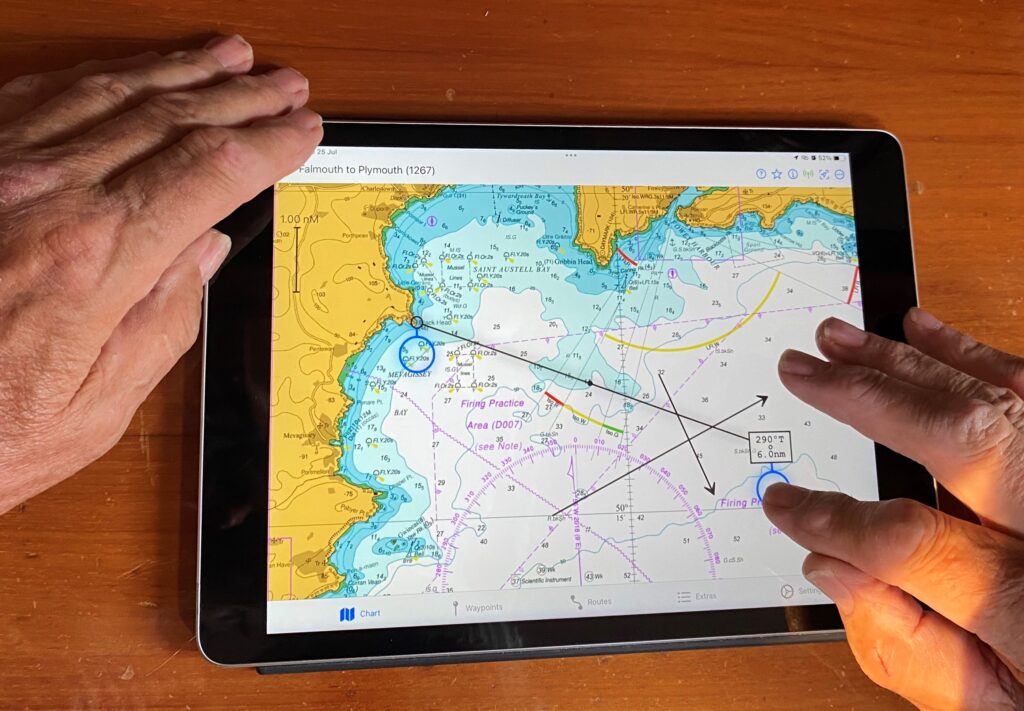
Tom Cunliffe’s recently launched navigation app, AngelNav, will be making its boat show debut at this year’s Southampton International...
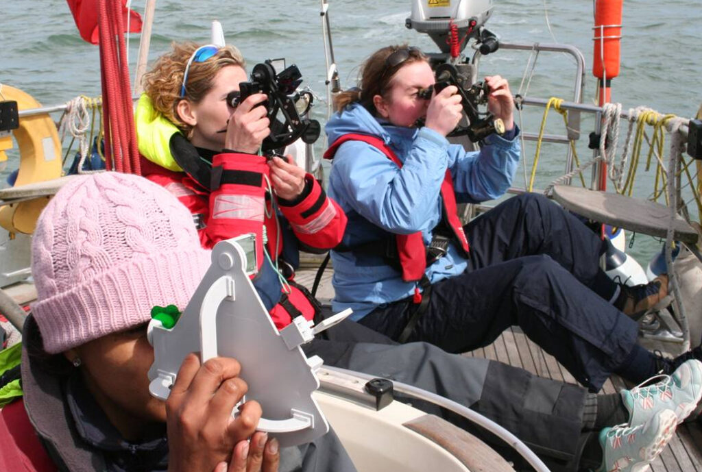
First Class Sailing will be running a series of workshops and talks on celestial navigation at the Ocean Globe...
