Garmin expands high-resolution relief shading chart coverage
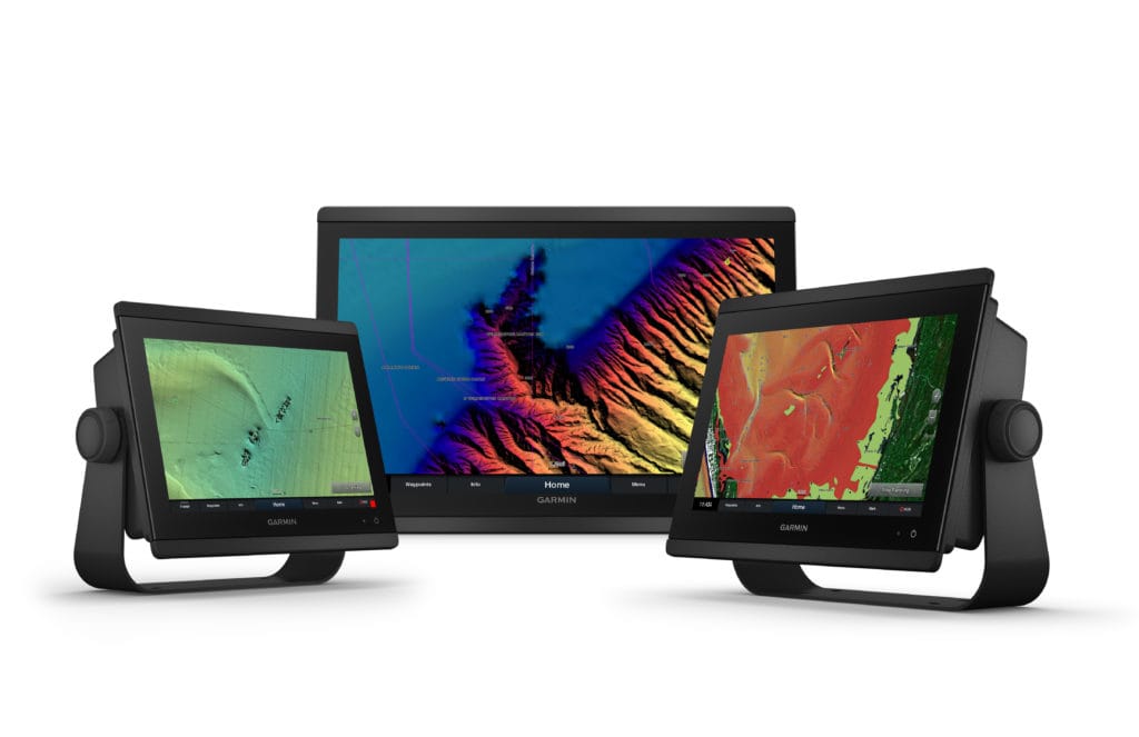
Garmin® has expanded its high-resolution relief shading coverage for the UK, Ireland, Belgium, France, Germany, the Netherlands and Norway. Coastal boaters and anglers in these regions, and those in Australia and New Zealand, can now download relief shading chart content to exclusive BlueChart® g3 Vision cartography products for an easy-to-interpret, clear view of the ocean floor.
“We remain committed to delivering the most detailed, accurate charts and maps for all of our customers across the globe, which is why we are pleased to offer high-resolution relief shading for our customers in Europe, Australia and New Zealand,” says Dan Bartel, Garmin vice president of global consumer sales. “By blending Garmin and Navionics data in our cartography content, everyone from leisure boaters to serious divers and anglers will discover the difference of high-resolution relief shading for their on water experience and situational awareness when navigating the coasts.”
Relief shading combines rich colour and shadow, created from multibeam surveys and high-definition data, for a multidimensional illustration of bottom structure. The high-resolution relief shading can be downloaded directly to BlueChart g3 Vision cards, via the ActiveCaptain® app, which is said to provide simple access this new chart layer and manage the marine experience.
Premium BlueChart g3 Vision cards offer a full suite of Garmin’s latest g3 cartography, including features like blended Garmin and Navionics data and content, built-in Auto Guidance technology and unique 3-D views and more.
High-resolution relief shading is available now for download. Existing customers with BlueChart g3 or BlueChart g3 Vision cards can update charts to view high-resolution relief shading and to ensure they have the latest data available from the 2021.0 cartography release.