New app updates tides in real time and predicts future water depths
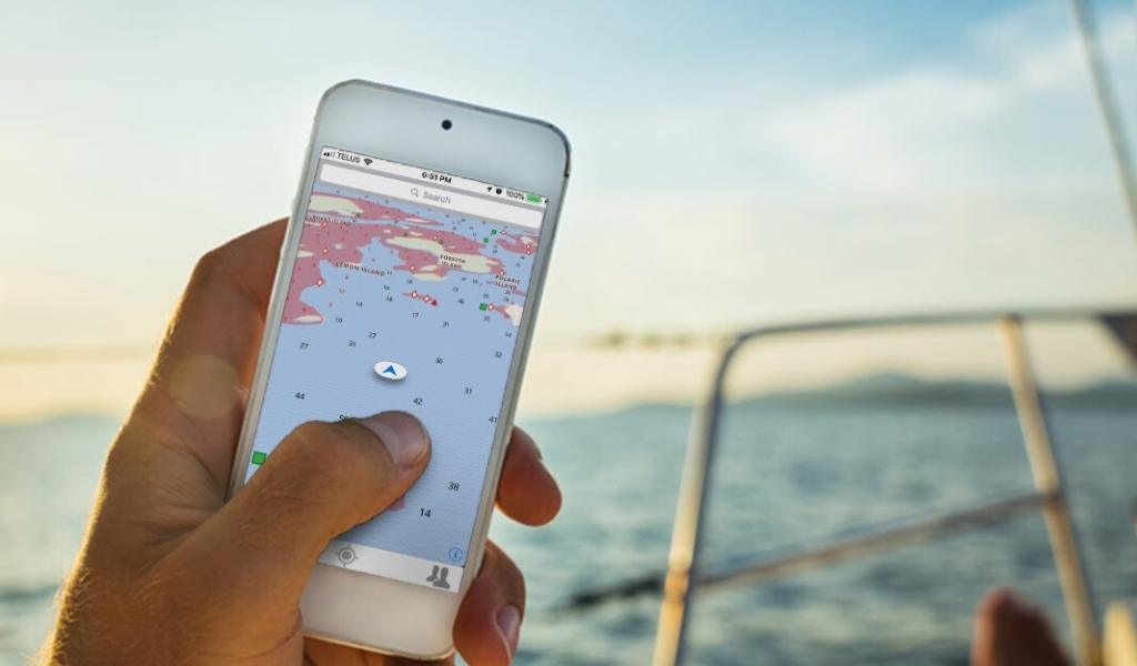
Wavve Boating has released a new feature on its GPS app which it says will update in real-time to current water levels as well as predict water depths at future high and low tides.
Using over 4300 water stations, the Wavve Boating map dynamically updates to show current and future water level predictions to make navigating tidal areas easier.
Wavve Boating’s map updates depths, contour lines, and shoaling information as water levels change and shows tidal predictions up to 18 hours in advance.
The Canada-based company says the new app feature is designed to help boaters navigate for a stress-free day out on the water.
In a statement, the company says: “Interpreting tide tables is a crucial step prior to a successful day on the water. Unfortunately, it is often overlooked because it is yet another difficult step in the navigation process. Many recreational boaters, new and experienced, find themselves running aground or stuck on a sandbar when the tide goes out.”
The Wavve Boating app provides navigational chart information, connects with other boaters, displays weather forecasts and connects to Coast Guard small craft warnings.
“We’re proud to be launching a comprehensive and innovative solution that makes boating safer and easier,” says Adam Allore, CEO of Wavve Boating. “We want to consolidate the most crucial boating information so no one has to search through multiple sources to decide if it’s safe to spend time on the water with family or friends.”
This update is available now for Apple and Android devices and can be used by boaters in the US and Canada. Wavve Boating has plans to expand into Europe.