
RYA commissions ABPmer to update Coastal Atlas
The Royal Yachting Association (RYA) has commissioned ABPmer to update the digital map of recreational boating held in its online UK Coastal Atlas of Recreational Boating.
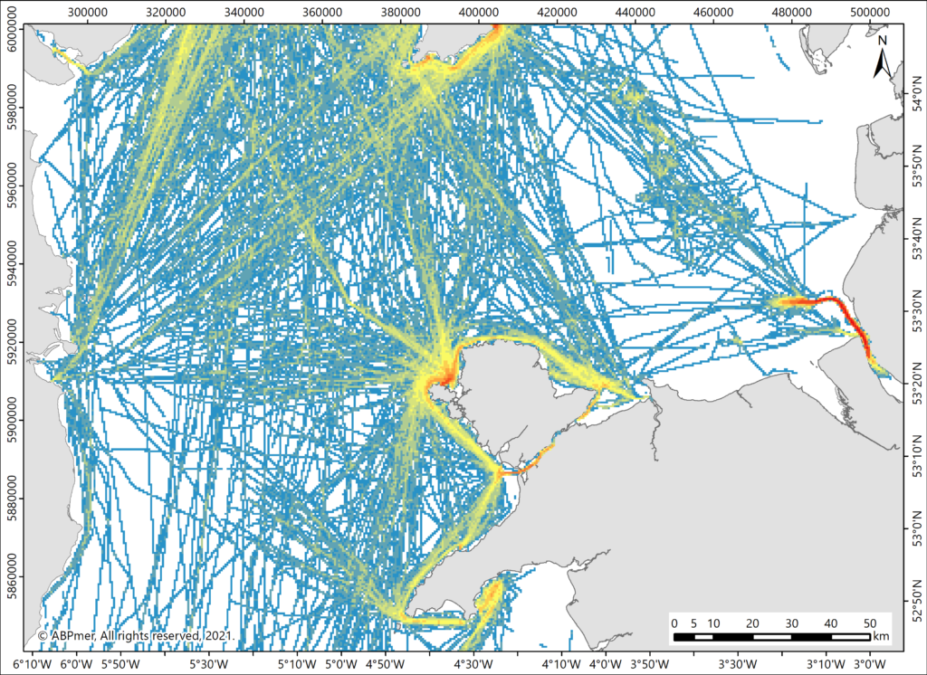
The RYA Coastal Atlas is a GIS dataset of recreational boating activity around the UK, comprising spatial data including indicators of intensity of use and general boating areas, as well as the locations of clubs, training centres and marinas.
The atlas is an important tool, says the RYA, aiding the representation of recreational boating interests. It is used to help identify and protect areas of importance to recreational boaters, to inform responses to development proposals and in discussions about navigational safety.
ABPmer will develop maps of recreational boating activity and intensity between 2015 and 2019. This will update and maintain standards for representing recreational boating activity in UK waters in planning and licensing applications.
“Adding the intensity data layers is an important step in the development of their Coastal Atlas,” says Chris Jackson, head of data services and business development manager at ABPmer. “We will also explore how additional data can be incorporated into the Atlas, to help the RYA expand the capabilities of the atlas so that it is of wider benefit to those operating in the marine environment.”
Richard Hill, RYA environment and planning officer, adds: “We are looking forward to supplying the updated Coastal Atlas to our partners, whilst using it to expand our own advocacy work to safeguard and promote sustainable waterborne recreation.”
The update is expected to be available from the end of 2021.