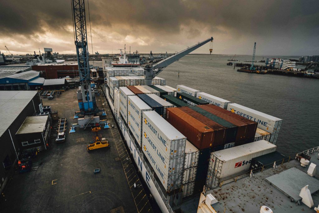
SpacePort uses geospatial data to solve transport challenges in ports
A SpacePort feasibility project, funded by the Geospatial Commission in partnership with Innovate UK, says it has successfully concluded that a geospatial data platform can significantly streamline port operations. This will then improve efficiency while addressing the decarbonisation and emissions reduction challenges.
The feasibility project was carried out at Portsmouth International Port.
“The SpacePort project has successfully identified the port operation requirements of Portsmouth International Port and has assessed and shortlisted the geospatial positioning and communication technologies that would enable the port to address issues such as bottlenecks, which cause delays and contribute significantly to traffic congestion and emissions in port cities,” says Jonathan Williams, CEO of MSE International.
The project considered challenges including the impact of maritime logistics on the city’s air quality, the requirements of the 2050 maritime emissions targets, the congestion in the city centre and surrounding areas, and alignment with the city’s transport strategy including the Solent Freeport.
Diverse geospatial and other data resources that could offer solutions were assessed while the port’s existing logistics systems were reviewed. A detailed use-case mapping exercise took place, assessing whether the data resources and sensing technologies could deliver the functionality required by the port. This check proved successful.
“The SpacePort infrastructure identified by this research will be of significant interest to other UK ports, leading to the development of high value information services for the international port logistics market. The plan is to implement and operate a pilot of the SpacePort system in Phase 2 of the project to validate the technical functions and demonstrate the performance of the system to stakeholders. Phase 2 of the project would also enable refinement of the business model,” says Williams.
Applications for geospatial data include port flow optimisation, container stacking/positioning optimisation, delay early warning, traffic management around the local consolidation centre, first/last mile optimisation, and port safety strategy.
The project team worked closely with Portsmouth International Port, Portico (who operate two deep-water cargo berths at the port) and Portsmouth City Council. It also brought together MSE International and Connected Places Catapult.